Geographic Information System
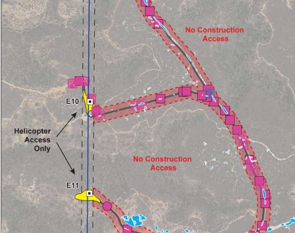
Panorama provides GIS, data management, and cartographic solutions throughout the environmental assessment and development process. Typical services include creating a project-specific geospatial database and preparing graphics and maps to facilitate:
- Stakeholder outreach and public meetings and hearings
- Feasibility and project constraint analysis
- Project siting
- Alternatives analysis
- Resource management
- Environmental impact analysis
- CEQA and NEPA document preparation (IS, ND, MND, EIR, EIS, etc.)
- Environmental review and environmental permitting
- Tracking environmental compliance during construction and operation

