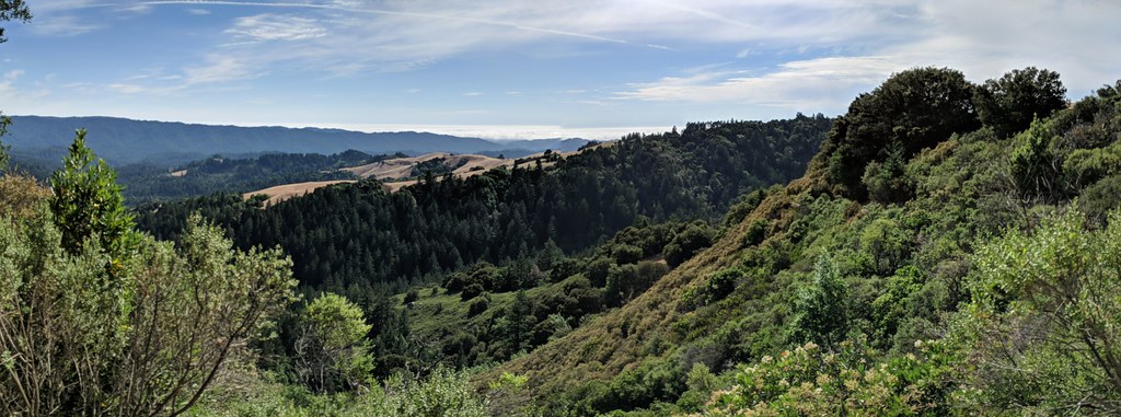
This comprehensive Wildfire Resiliency Program covers over 64,000 acres of preserve wildlands managed by Midpen. This area includes all 26 of the District’s preserves. Spatial Informatics Group (SIG) and Panorama were each selected for a 3-year contract to assist in defining and preparing the program and associated CEQA reviews.
The program consists of several components:
- A Vegetation Management Plan that includes the prescriptions for fuelbreaks and fuel reduction areas constructed along ingress-egress routes and key areas to protect infrastructure and assets
- A Prescribed Fire Plan that defines prescribed fire units and methods
- A Resource Advisory Map and Wildland Fire Pre-Plan
- A Monitoring Plan.
The program identifies ingress/egress, emergency access, other constraints, sensitive natural and cultural resources, infrastructure, and important considerations for firefighters during a fire. The program also includes revisions to the District’s Resource Management Policies to support the program. SIG is defining fuel management and prescribed burn units through extensive field mapping using unmanned aerial vehicles (UAVs) and is developing the prioritization tools to identify the projects to be implemented based on modeling.
The program includes the habitat types, the methods used for fuel treatment in each habitat types, the implementation tools (including manual, mechanical, grazing, prescribed fire, and herbicides), an implementation plan and methodology to prioritize projects, and an estimated costing.